Peru
Lima (5/4/07 – 8/4/07)
The wealthy and affluent capital of Peru and once the capital of Spanish South America (all of South America except Brazil). A very large earthquake in 1746 put an end to all that. I spent my time in Lima just chilling out and not doing much.
Arriving in Lima after Quito wasn’t much of a shock. Although it was one of the most expensive two-hour flights I have ever been on (it was the day before good Friday), it was relatively uneventful. I stayed, for the whole time, in a place by the sea in an upmarket area called ‘Miraflores’. I win the sloth award for chilling out because I did not venture out of this area until I had to leave for Cusco. I ventured out of my hostel to go to a supermarket and to watch a movie (300… not very good, but just the sort of I-dont-want-to-think movie experience I was after).
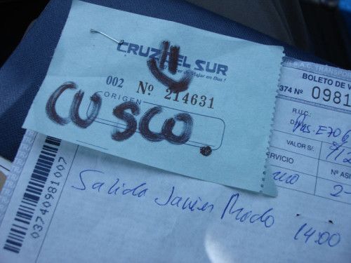
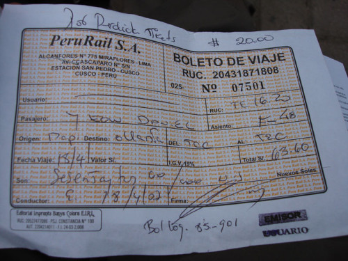
The whole reason I was in Peru, of course, was to see Machu Picchu. To see Machu Picchu, one must first go to Cusco, then hike a bit (or take a train) to Machu Picchu itself. Here is my bus ticket… the bus ride was 21 hours…
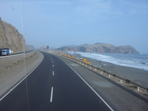
Outbound from Lima on the Pan-American highway. The original idea was to build a highway which stretched from somewhere in Alaska right to the southernmost tip of Chile. It almost worked. The only sections not covered are around the Panama-Columbia border, originally because of engineering difficulties, but now because of political ones. The section which passes through Peru is in a reasonably good state of repair.
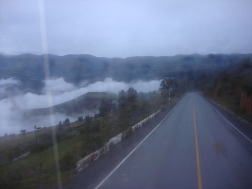
After passing through Nazca, famous for huge drawings in its landscape which are only visible from the air, we journeyed through some very twisty mountain roads before finally getting to Cusco… where the altitude quite literally takes your breath away. You’ll notice that the window is quite fogged, this is because, at the time, the bus was serving a dual function – as a vehicle for humans and as a fridge. Lucky for us, for it meant that we were very fresh when we arrived in Cusco.
Cusco (9/4/07 – 18/4/07)
Cusco was the capital of the Incan Empire for about 500 years. Over 3300 metres above sea level, it takes a bit of getting used to.
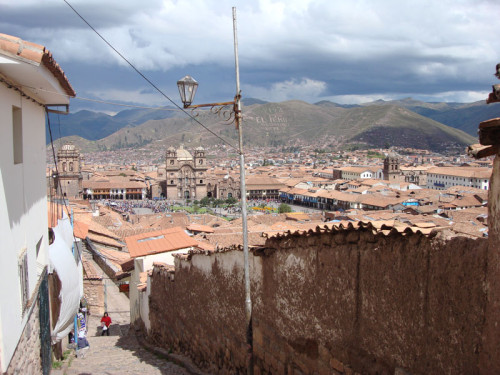
Looking down an alleyway into the Plaza de Armas, the centre of Cusco.
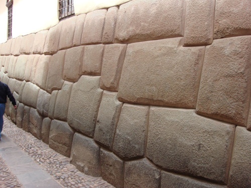
Throughout the city, Inca stonework is found. The stones are very large and very heavy, they seem to fit together perfectly.
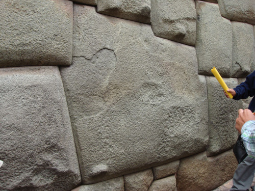
This is the “12-sided stone”, so named because it had 12 sides. You can see little hand-holds on all of the stones which we believed to be used to help move the stones into place.
Along one of the walls is the famous “puma”. I have highlighted the puma in green, the actual rocks aren’t this colour.
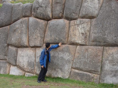
Just a little way north of Cusco is the site “sexy woman”… well, it is actually called “Saqsaywaman”. When I arrived, I was a bit deflated that the site wasn’t actually, in any way shape or form, a sexy woman. Instead, it was a large complex of walls made of gigantic stones which fit together quite perfectly and formed a complex which is believed to have been used as some sort of religious centre.
It is difficult to get a feel for the scale of the site without a panoramic shot… so here it is (click the photo for an enlargement (if only enlargement were this easy)). Yes, those stones are VERY big. They were obviously put there by aliens.
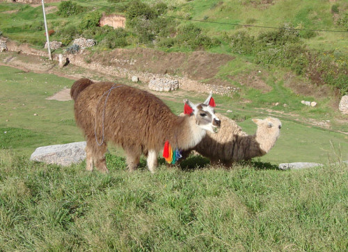
Alpacas. Camel-like creatures with fur which is very good for making warm clothing out of.
There are lots of guinea pigs on this continent. (move your mouse over the picture)
The next day, we continued to visit Inca ruins in the surroundings of Cusco.
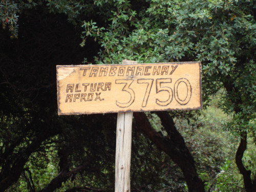
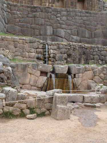
Tambomachay, apart from being a very impressive collection of stonework, also features some water outlets of some sort.
The source of this water is still a mystery. Perhaps Melbourne could use some mysterious Inca plumbing to help with its water shortages.
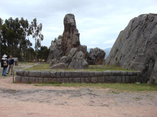
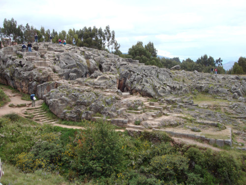
Q’enqo – a site which features a very large rock.
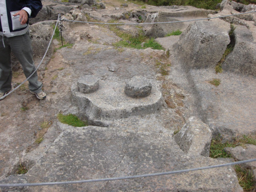
An early attempt at a 9 volt battery.
The site gives a little insight into Inca stoneworking techniques. The terrain at the top of the rocky outcrop vaguely resembles the “Clapham Junction” rock formations on Malta.
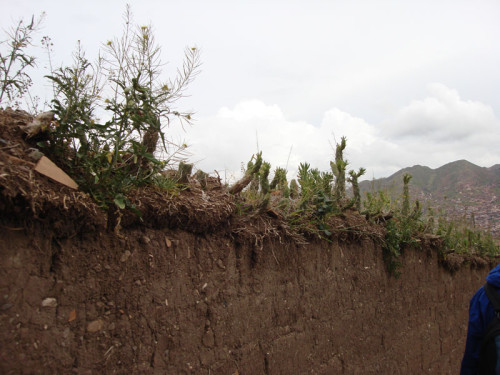
Who needs barbed wire when you can grow cactus on top of your walls? This probably also serves the purpose of delaying erosion.
Trail through Salkantay pass to Machu Picchu
Arriving in Cusco a little too late to book a spot on the “standard” Inca trail, we opted for a popular alternative which also goes for 5 days and 4 nights which begins in a small town called Mollepata, goes through Salkantay pass (Salkantay is a big mountain) through to Santa Theresa before finally arriving at Machu Picchu. After picking up all the trekkers in our group (an odyssey which began at 4:30am) we made our way to Mollepata where we had breakfast and drank some tea with Cocoa Leaves… for the altitude.
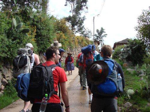
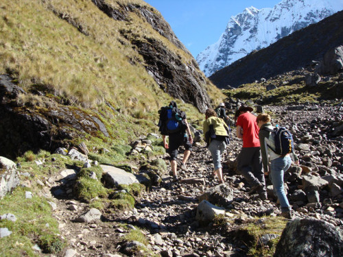
And so we began our 80+ km trek. Beginning at the altitude of about 3400m and needing to get to Salkantay pass which is at 4600m by the second day, we knew which direction we needed to go – up. We hiked with large-ish day packs while the horses carried all the hard-core camping gear (tents, sleeping mats etc.)
Our stuff wasn’t exactly light, so to coax the horses into carrying our stuff, the horsemen blindfolded the horses before loading them up.
Lunch on the first day was taken at the side of the path. This was our first course – soup, with cheese that squeaked on your teeth when you chewed it.
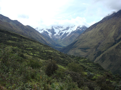
There it is, Salkantay, 6100m of mountain in the Peruvian Andes. It looks a long long way away.
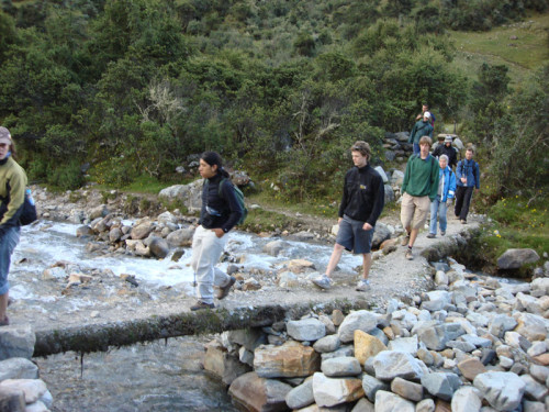
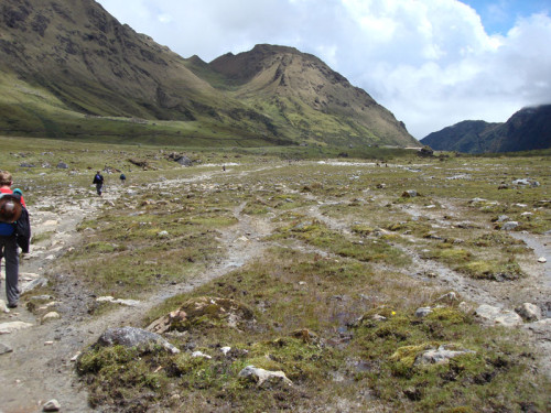
Although we walked for a good 6 hours on the first day, it was fairly relaxed most of the way. Most of our “river” crossings were of this nature…
We arrived at our campsite for the first night with a few hours of sunlight to spare so we sat around drinking tea, eating bread and just chatted while waiting for the cooks to prepare our dinner.
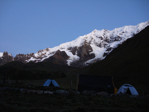
The morning was exceptionally clear (which also meant that it was exceptionally cold) which afforded us a good view of the mountains which we were going to hike between.
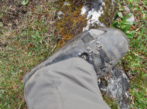
Unfortunately, I didn’t take my boots on this little trip, I figured that it wasn’t worth it since I would only really need them for five days (out of five months). So, I rented a pair of boots from a shop in Cusco. Although they seemed to fit fine at the time, it turns out that they were just a little bit too small and at a very early stage of the 10 hour trek of day 2, my feet told me that they’d had enough. So I borrowed some scissors from a first aid kit and performed minor surgery on my rental boots.
Ahhh… that’s better. Apart from my socks getting very very muddy, my feet were fine for the rest of the hike.
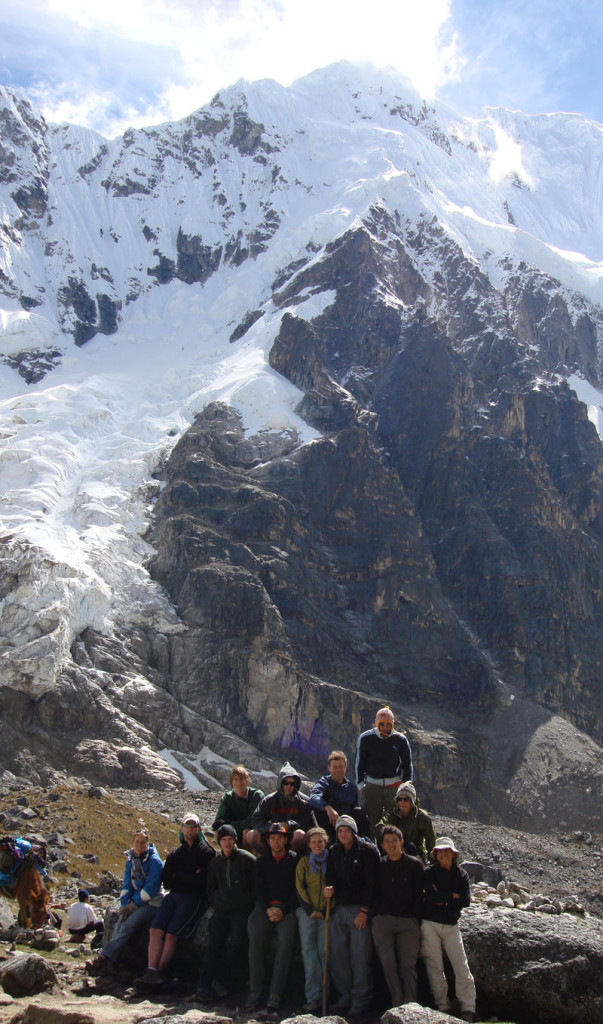
After only five hours of intense trekking at altitude, we finally reached Salkantay pass. At 4600m the altitude was enough to make your head spin. Luckily, it was all downhill from here. The group of us, feeling particularly proud of having completed the most difficult part of the whole trek decided that we’d have a group photo.
The rest of our little stroll was no easy task. Even after several hours of descending, we were still walking through terrain which was devoid of trees and cows.
Not only that, it was the wet season here in Peru, which meant that the ground was quite muddy and soggy in places (not good, considering my boots).
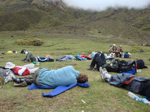
We reached the lunch site an hour ahead of schedule so our guide told us to just have a little nap while our lunch was being prepared. When we woke up, almost all of us had terrible headaches from the altitude.
The scenery did eventually start to get better with shrubs and trees beginning to appear at the side of the path to keep us company.
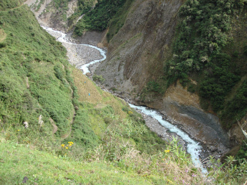
For most of the early part of the trek, we walked along a valley at the bottom of which lay a river – Rio Blanco. The river is supplied by ice melting from the glaciers on Salkantay and the surrounding snow-capped mountains. This meant that your hands went numb from the cold every time you rinsed them in the little streams that supplied the river.
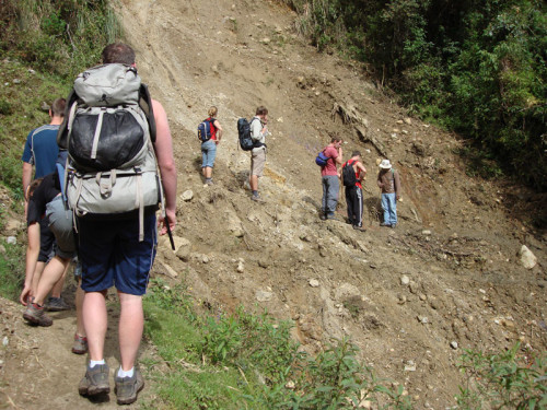
Another wonderful thing about trekking in Peru during the wet season is landslides. This was a very minor one and merely made it difficult to find the path.
Along the path, we found lots of wild strawberries. They were very sweet, but generally not very big.
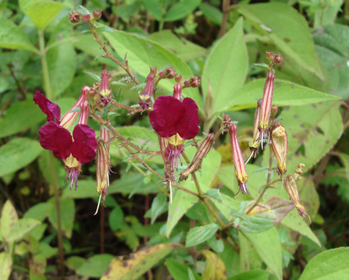
As in Venezuela, there were lots of Orchids, or Orchidias in Spanish.
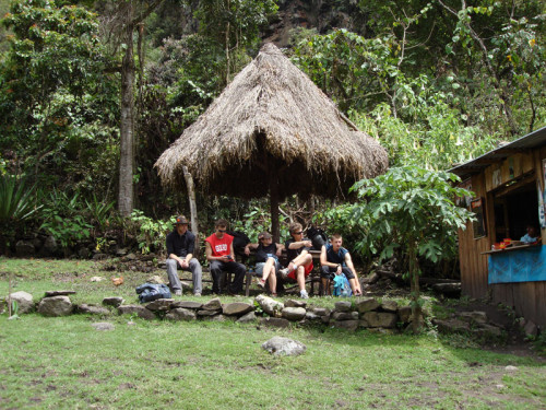
Every now and then, there would be small settlements which seemed to exist for the sole purpose of selling drinks and snacks to tourist trekkers like ourselves.
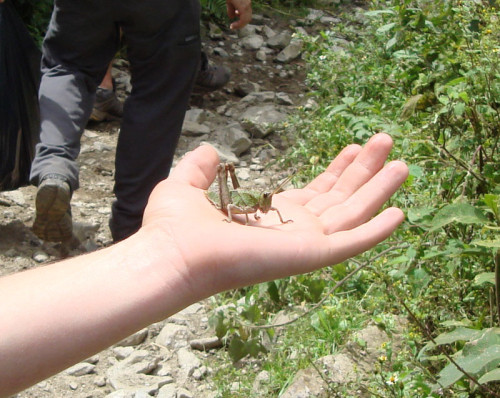
The wildlife here was also very friendly and surprisingly tame. This grasshopper is doing a palm-reading for Lauren. Unfortunately, none of us spoke grasshopper so we were unable to determine Lauren’s future.
The further we went, the dodgier our means of river crossings seemed to become. This is just a log with one side flattened a bit.
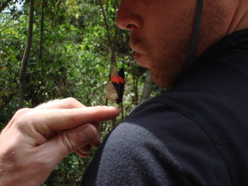
Speaking of friendly fauna, Kyle tries to kiss a butterfly.
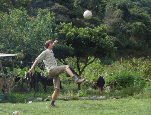
Our lunch site for the third day was a relatively large settlement (they had running water AND electricity!). We hung around and played frisbee and a bit of soccer with the local kids. Here Nick demonstrates the skills which got him into the firsts in soccer at school.
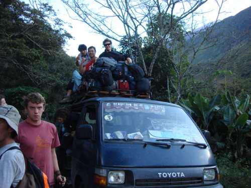
We got a bus ride to Santa Theresa towards the end of the third day… there wasn’t quite enough room inside this little van so a few of the group opted to ride on top.
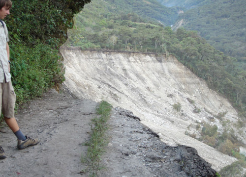
Unfortunately this little bus trip was cut short by, you guessed it, a landslide. This one displaced the road somewhat… “now c’mon, if we back up the van a bit and get some speed up…”
“No Daniel… the van doesn’t go quite that fast” . Aahhh… I see, more than just a little crack in the road.
We were able to carry all the supplies over to the other side via a non-vehicular path which managed to escape the landslide. Then we caught a bus from the other side… a public bus… with lots of other people and their… cargo.
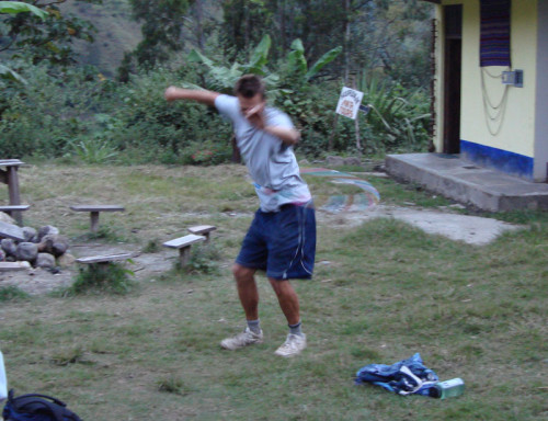
At our campsite just outside Santa Theresa, Scott demonstrates his skills while we wait for the bus which would take us to the nearby hot springs, a welcome diversion after three days without a shower.
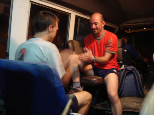
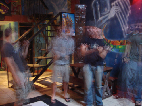
Feeling refreshed after bathing in hot springs, some of us played high-energy games on the bus while I took some long-exsposure shots.
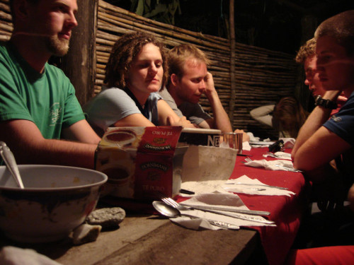
Dinner that night was fish (but no chups). Here we are waiting between courses. A soup bowl can be seen in the foreground.
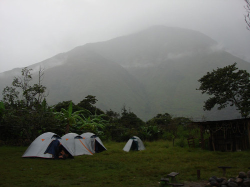
The next morning was very misty and ever so slightly rainy. Somehow, sometime during day 3, our guides managed to loose one of our tents. The result – me and Nick got to sleep in a room with beds (and flushing toilets!)… oh darn.
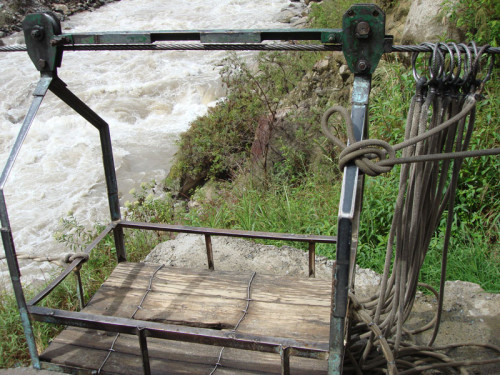
Just when we thought river crossings couldn’t get any more exciting… the flying fox came to the rescue.
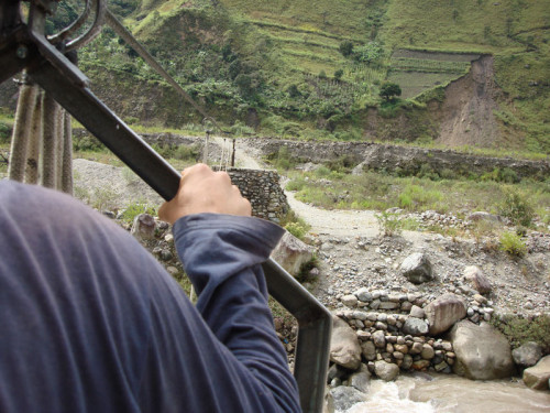
“Hold on tight Daniel” me and one of the guides were the first to go. “Hold on tight? did you REALLY think that I wasn’t going to!!??”.
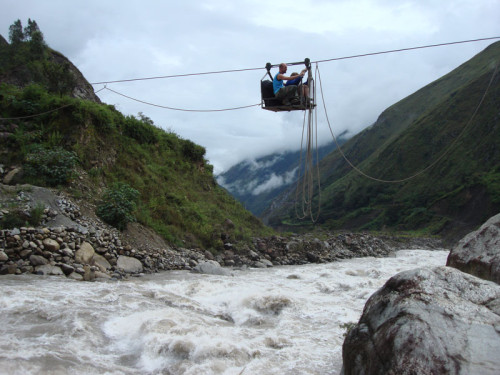
Nicolas and Nicholas share the flying fox as it crosses a rather dangerous-looking river.
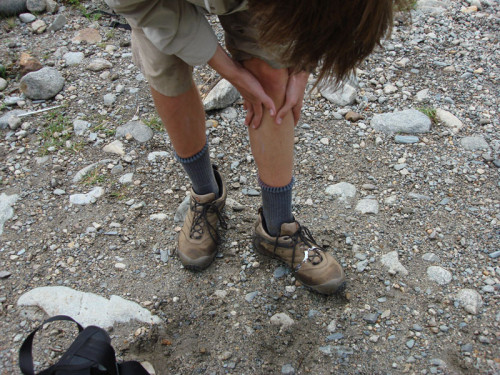
Oh dear Nick. Well, I guess the flying fox was rather exciting wasn’t it? Just rub it in, nobody will notice.
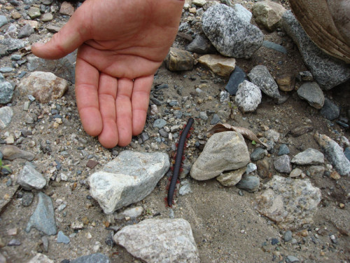
On our walk to Aguas Calientes, we spotted this millipede. Somewhat smaller than the one on the museum of natural history in New York, but also somewhat more alive.
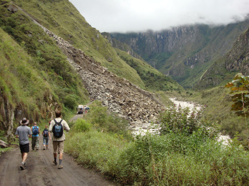
Phwoar… notice how the truck carrying all our bags has stopped. We seem to have run into a landslide… those rocks looks pretty small from here don’t they?
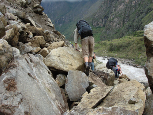
Well, they’re not. Those rocks are huge. Negotiating a recently-made landslide with a full pack on my back AND swinging sleeping bags attached was not my idea of fun. Someone remarked “statistically, I think that is the most dangerous thing I’ve ever done”. If it wasn’t for my car crash, it would probably have been mine too.
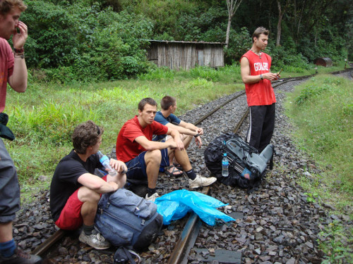
The final section of the hike-proper was along the railroad to Aguas Calientes (the closest town to Machu Picchu).
Lucky for these signs telling us where to escape to, otherwise we wouldn’t have known what to do when the train came along.
“The Choir” we sang as we walked along the railway. Apart from obvious classics, like “Stand by me”, we also somehow managed to sing all the words in all the verses of Don McLean’s “American Pie” in order (and a fairly close approximation to in tune as well).
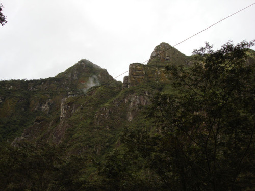
From the tracks, we could actually see Machu Picchu and Hayuna Picchu… but from the back, a less than flattering view (the same can be said of many things really).
Finally, our last night of the trek, in Aguas Calientes a town dominated by the railroad tracks. We had dinner and some hot showers…
Feeling refreshed, we hit a nightclub. Mark (third from the left) gave us an extraordinary performance which included the famous “final walk-off challenge” from the walk-off scene from the movie Zoolander, he escaped unharmed (those who have seen Zoolander will know what I mean).
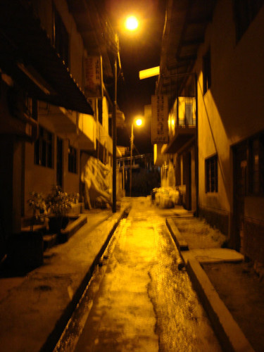
Walking home late at night in Aguas Calientes. We all went to bed relatively early because we knew that we had a very early start the next day… another 4:30am start.
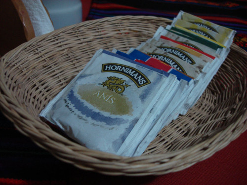
We had breakfast accompanied by some tea…
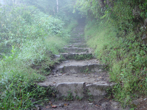
The latin american love affair with steps continued as we ascended flight after flight of stairs in a final effort to get us to the lost city of the incas…
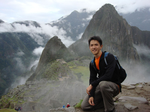
And here it is, the moment you’ve all been waiting for, Machu Picchu! (at about 7am)
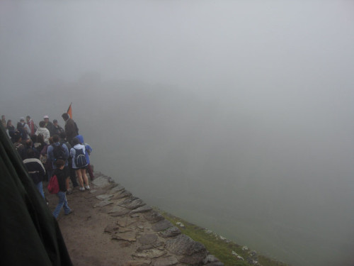
We stood in front of the sun-gate and sure enough, the fog began to lift and we found ourselves looking at the mysterious lost city of the Incas…
And just to prove that I didn’t simply buy a bunch of postcards and photograph them…
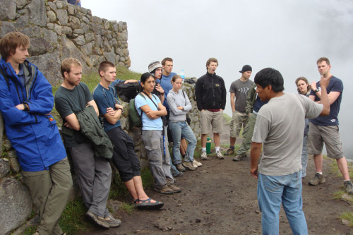
Our guide explains to us about the history of the city and how it was discovered in 1911 by a fellow from Yale University named Hiram Bingham.
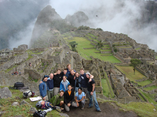
Yes another group photo! This time minus the altitude-headaches…
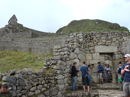
The little hut in the top-left is where one stands to take the standard “postcard” shot of the city. Our guide is explaining to us the ins and outs of the door to the city. This door was so high that Nick didn’t even need to duck under it.
I guess those Incas eventually got a bit sick of the view and walled-up their windows. Notice that these rooms, while they look small from the postcard shots are actually quite big…
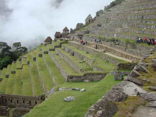
The scale of the city is really something to behold. It was exceedingly difficult to capture anywhere near the proper sense of scale with any of my photographs. There were small rooms, terraces, water channels all throughout the city. A city whose use is still shrowded in mystery.
The city took a long time to build. One can actually observe Incan stoneworking techniques improve as more recent portions of the city exhibit very tightly-fitting stones in their walls while older portions of the city are less well-constructed.
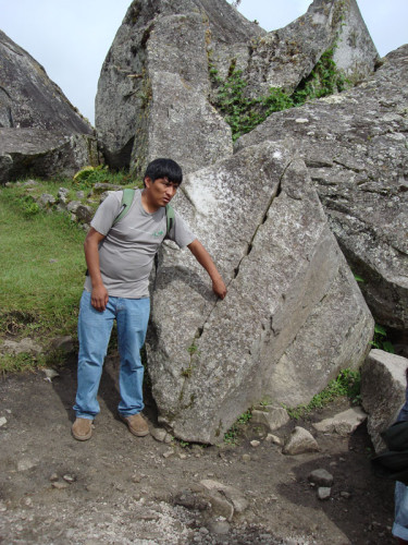
Here our guide, Jose, explains one of the theories of how the Incas split these very large and very solid rocks. (see how good I am? I resisted the urge to write a dirty-minded caption for this photo).
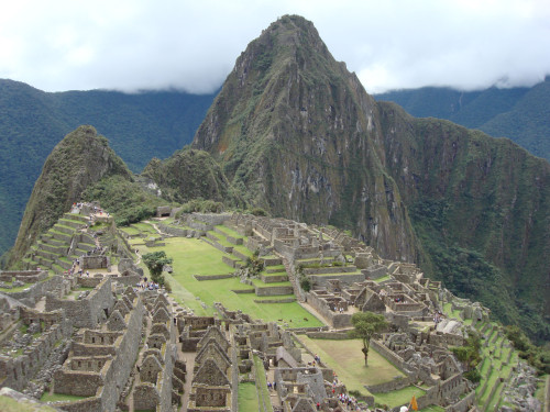
The city is built mostly on the mountain called “Machu Picchu” which means “Old Mountain” (these aren’t the names that the Incas used by the way). It spreads out over the saddle between “Machu Picchu” and “Hayuna Picchu”, which means “Young Mountain”. Hayuna Picchu is the mountain behind the city which dominates most of the photos that one sees.
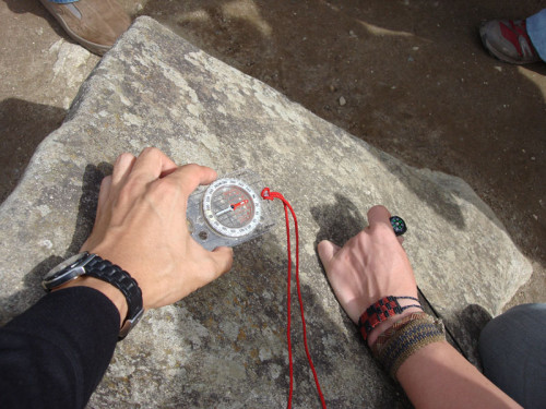
There is a stone carving depicting the southern cross, a constellation that everyone in the southern hemisphere is familiar with. They even managed to make it point almost exactly south. Most things in the city line up with the sun in peculiar ways at midday of the winter solstice (June 21st in the southern hemisphere).
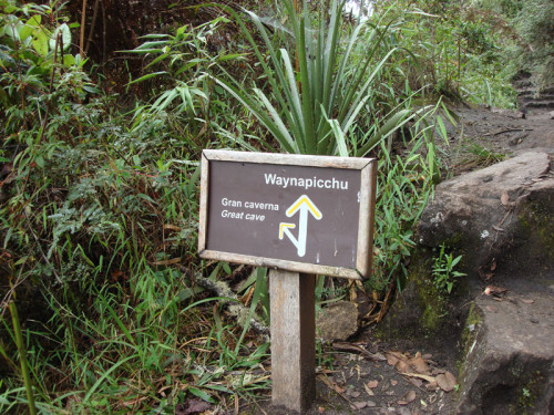
We decided to take the trek up to the top of Hayuna (or Wayuna) Picchu to see what the view was like.
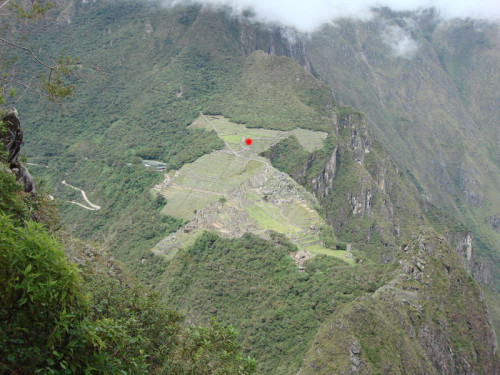
The view from the top of Hayuna Picchu was impressive. It is very difficult to get a feel for this from the photograph because you can’t really feel the depth of view. The red dot indicates where I was standing when the “postcard” shots were taken.
The road that the bus takes to the visitors centre is quite a long one, about 20 minutes. The route that we walked is indicated by the red line.
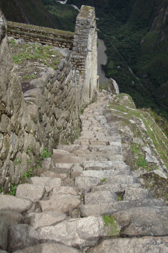
Hayuna Picchu has a few ruins of its own and its very own set of ridiculously steep steps. They were so steep that I had to walk down them backwards to get any kind of stability.
Aguas Calientes, being about 1800m above sea level is a bit lower than where we were… an 800m ascent on foot in the space of a few hours. Phwoar. I’m glad we were reasonably acclimatised to the altitude by this point. In fact, I derived a little bit of guilty pleasure from watching the un-acclimatised (and generally un-fit) people who obviously hadn’t done any kind of hike to get here struggle to even walk at a brisk pace.
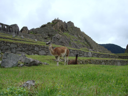
After getting up so early, having such a small breakfast and walking around for such a long time during the day, we all felt very very hungry indeed. These alpacas look tasty… (we actually did end up having alpaca steak that night when we got back to Cusco).
And finally… two postcard shots of the city for your perusal. Click on the images for bigger versions (warning: the big versions are REALLY BIG)
Click the image for a bigger version.
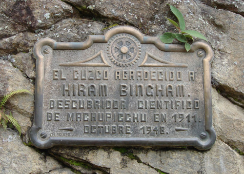
A plaque to remind us of the bold explorer who discovered this gem of a tourist destination.
and finally… an interesting little story. When we got back to Aguas Calientes, we discovered (by being told) that our train tickets had mysteriously gone missing. Me and Nick had to cough up our passports so that they could issue us with replacements. My replacement ticket is pictured above. This all seemed well and good until I was called by security to come off the train. Now there was no way in hell they were going to get my off the train so we stood in the doorway and argued a bit. It turns out that someone else also had a ticket with seat humber 48 on it. Oh dear. They checked the paperwork and my ID and discovered that seat number 48 did, in fact, have my name on it… as did the other poor fellow’s ticket. The result – he was forcibly removed from the train while I was allowed to remain. I suspect he will have a very strongly worded conversation with his guide for giving him a stolen ticket…

























Andrea – Great photos and a nice recap of your trip! How was the hike up to Machu Picchu? My mom went there about 10 years ago and did the hike. Reading your blog bruoght back memories of her stories from Peru. I know she was really sad about all the children on the streets, and it sounded like she gave them pretty much everything in her purse that she could! I’m glad you guys stood your ground on the cab issue!!