Peru 4
page 1 | page 2 | page 3 | page 4 | page 5
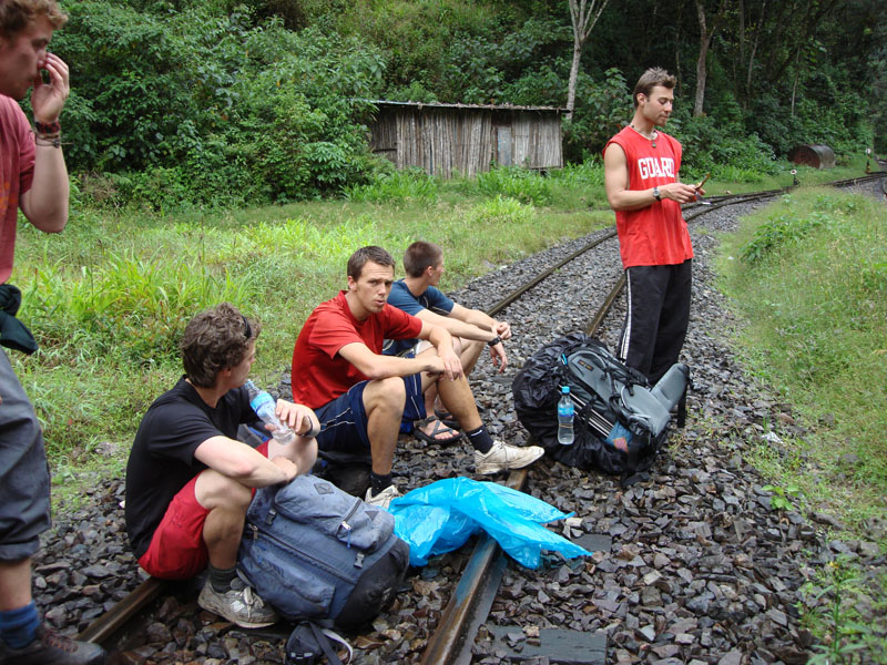
"The Choir" we sang as we walked along the railway. Apart from obvious classics, like "Stand by me", we also somehow managed to sing all the words in all the verses of Don McLean's "American Pie" in order (and a fairly close approximation to in tune as well).
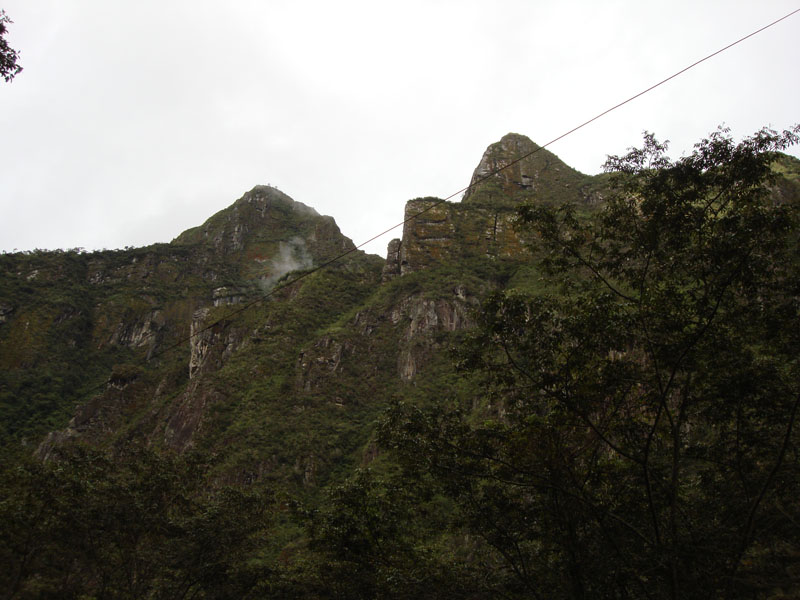
From the tracks, we could actually see Machu Picchu and Hayuna Picchu... but from the back, a less than flattering view (the same can be said of many things really).

Finally, our last night of the trek, in Aguas Calientes a town dominated by the railroad tracks. We had dinner and some hot showers...
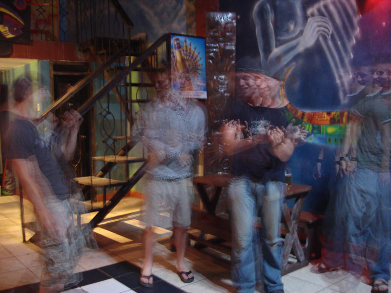
Feeling refreshed, we hit a nightclub. Mark (third from the left) gave us an extraordinary performance which included the famous "final walk-off challenge" from the walk-off scene from the movie Zoolander, he escaped unharmed (those who have seen Zoolander will know what I mean).
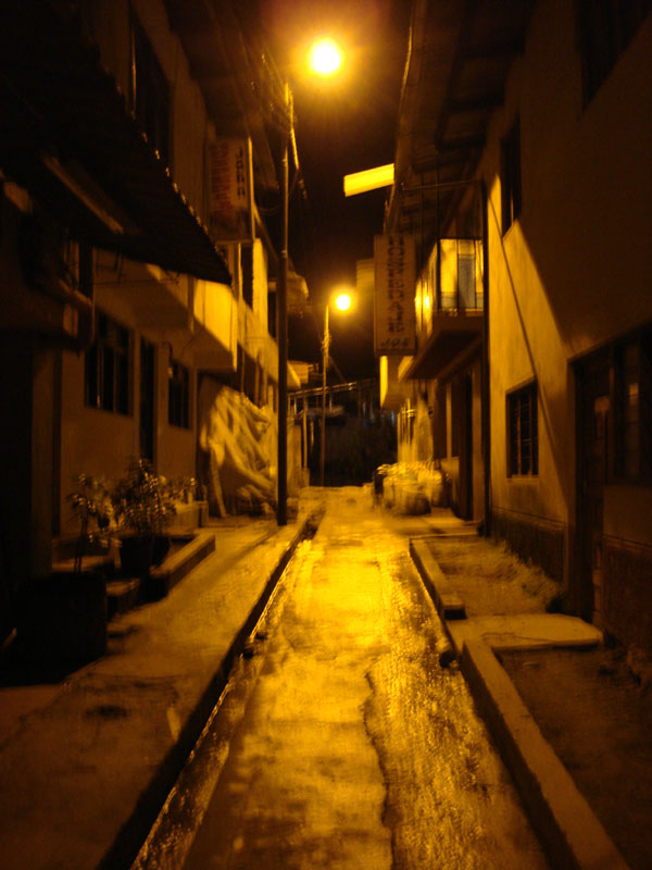
Walking home late at night in Aguas Calientes. We all went to bed relatively early because we knew that we had a very early start the next day... another 4:30am start.
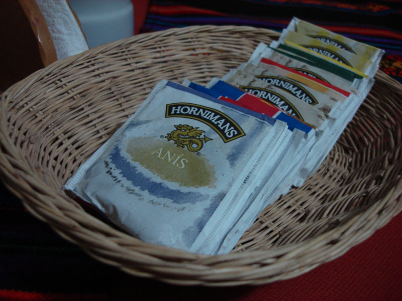
We had breakfast accompanied by some tea...
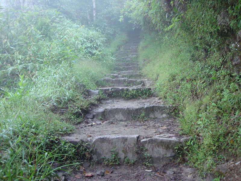
The latin american love affair with steps continued as we ascended flight after flight of stairs in a final effort to get us to the lost city of the incas...
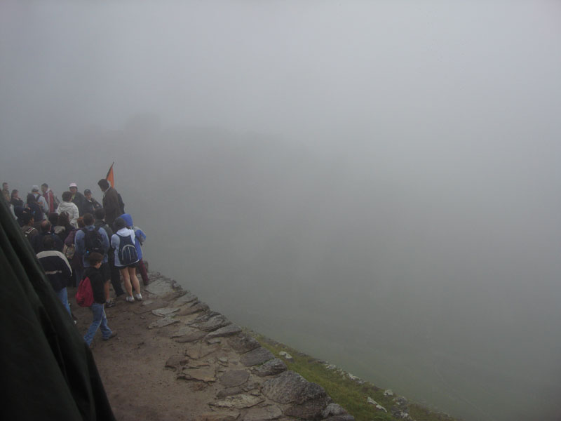
And here it is, the moment you've all been waiting for, Machu Picchu! (at about 7am)
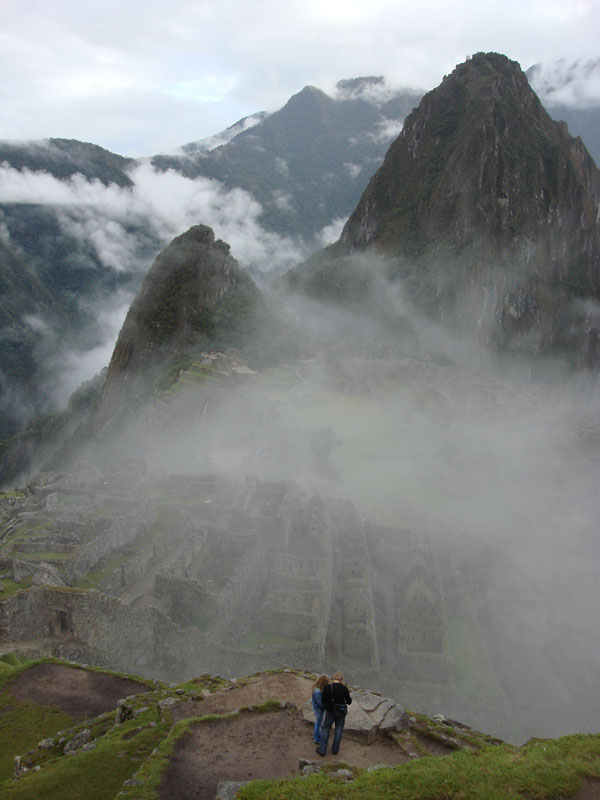
We stood in front of the sun-gate and sure enough, the fog began to lift and we found ourselves looking at the mysterious lost city of the Incas...
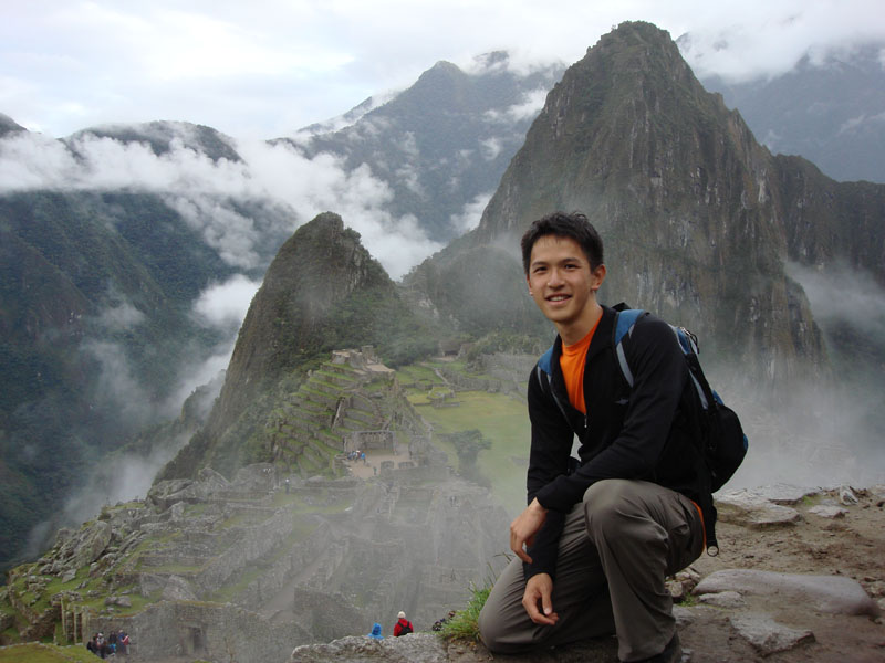
And just to prove that I didn't simply buy a bunch of postcards and photograph them...
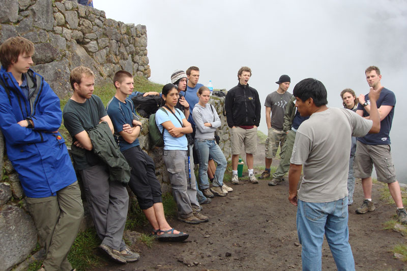
Our guide explains to us about the history of the city and how it was discovered in 1911 by a fellow from Yale University named Hiram Bingham.
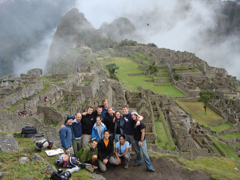
Yes another group photo! This time minus the altitude-headaches...
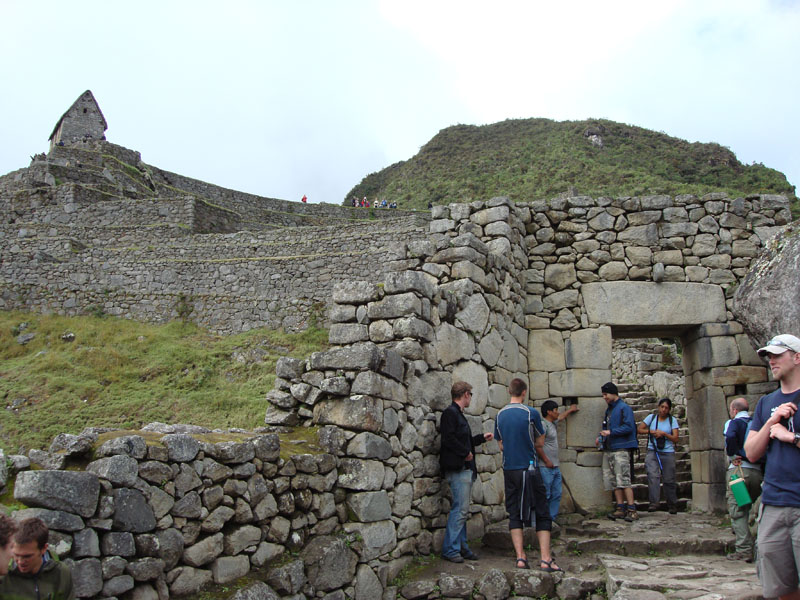
The little hut in the top-left is where one stands to take the standard "postcard" shot of the city. Our guide is explaining to us the ins and outs of the door to the city. This door was so high that Nick didn't even need to duck under it.
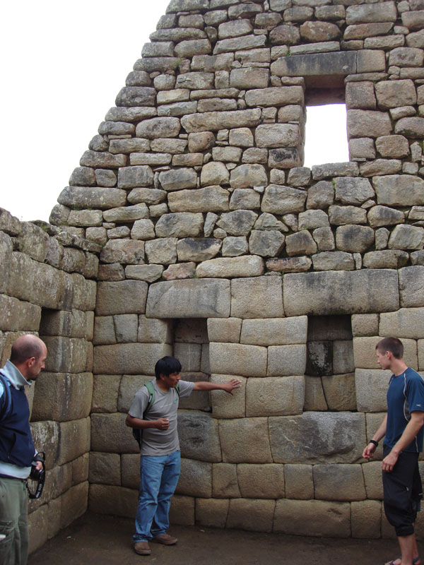
I guess those Incas eventually got a bit sick of the view and walled-up their windows. Notice that these rooms, while they look small from the postcard shots are actually quite big...
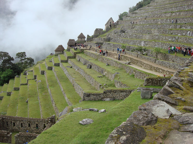
The scale of the city is really something to behold. It was exceedingly difficult to capture anywhere near the proper sense of scale with any of my photographs. There were small rooms, terraces, water channels all throughout the city. A city whose use is still shrowded in mystery.
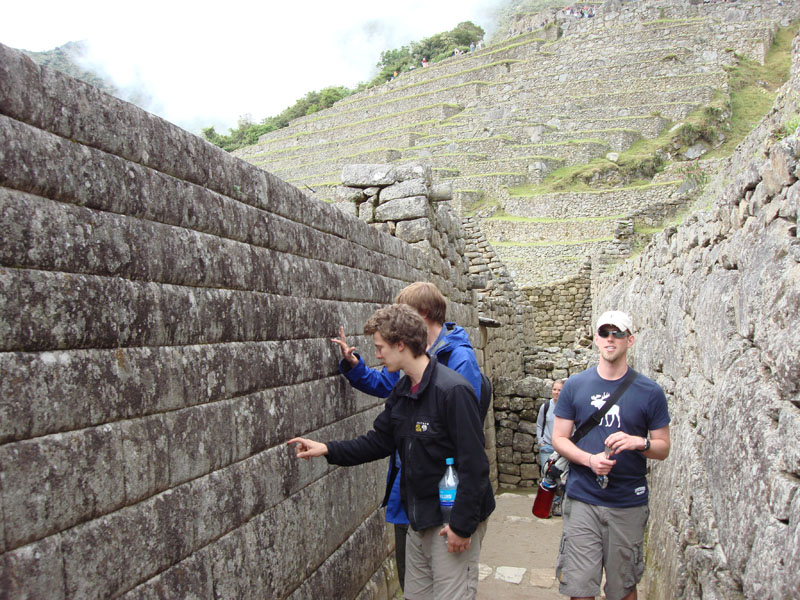
The city took a long time to build. One can actually observe Incan stoneworking techniques improve as more recent portions of the city exhibit very tightly-fitting stones in their walls while older portions of the city are less well-constructed.
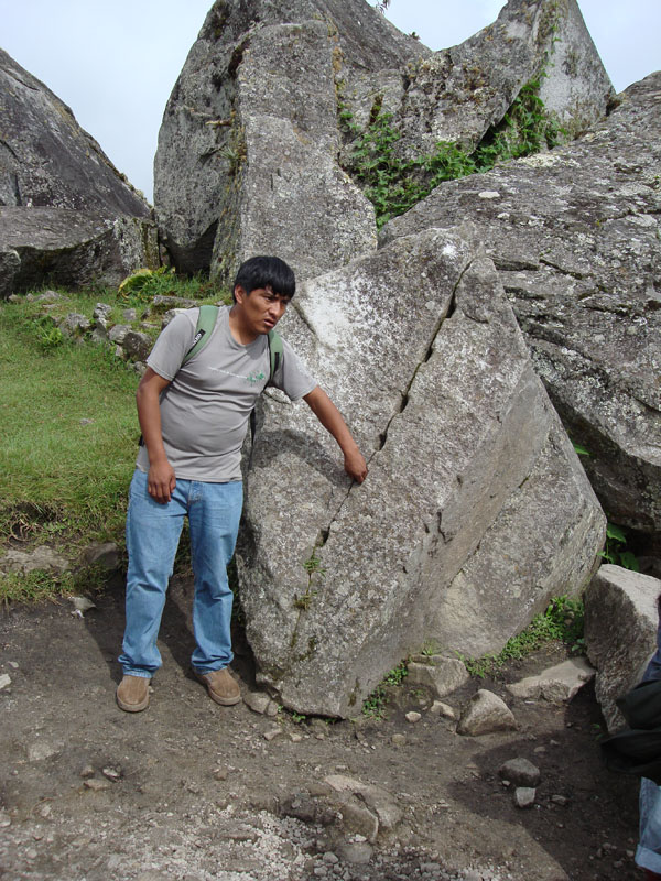
Here our guide, Jose, explains one of the theories of how the Incas split these very large and very solid rocks. (see how good I am? I resisted the urge to write a dirty-minded caption for this photo).
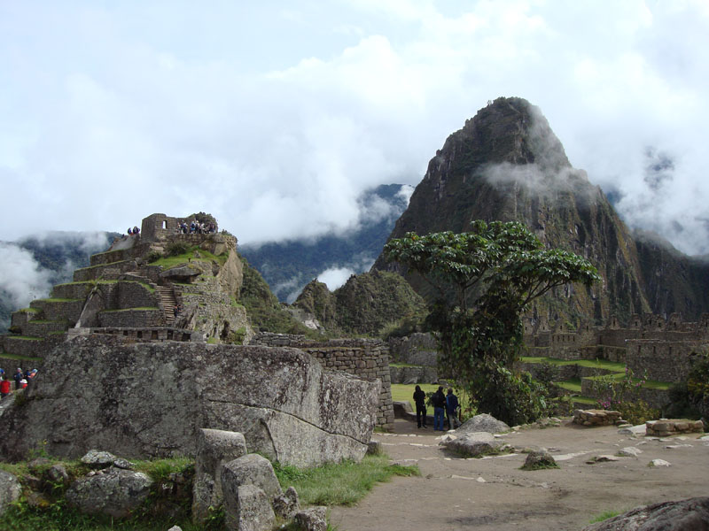
The city is built mostly on the mountain called "Machu Picchu" which means "Old Mountain" (these aren't the names that the Incas used by the way). It spreads out over the saddle between "Machu Picchu" and "Hayuna Picchu", which means "Young Mountain". Hayuna Picchu is the mountain behind the city which dominates most of the photos that one sees.
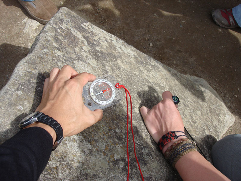
There is a stone carving depicting the southern cross, a constellation that everyone in the southern hemisphere is familiar with. They even managed to make it point almost exactly south. Most things in the city line up with the sun in peculiar ways at midday of the winter solstice (June 21st in the southern hemisphere).
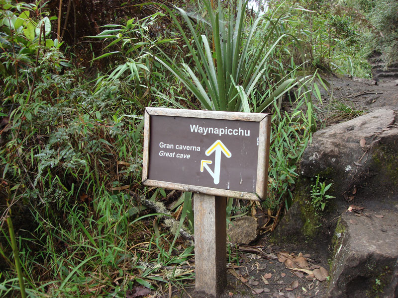
We decided to take the trek up to the top of Hayuna (or Wayuna) Picchu to see what the view was like.
page 1 | page 2 | page 3 | page 4 | page 5